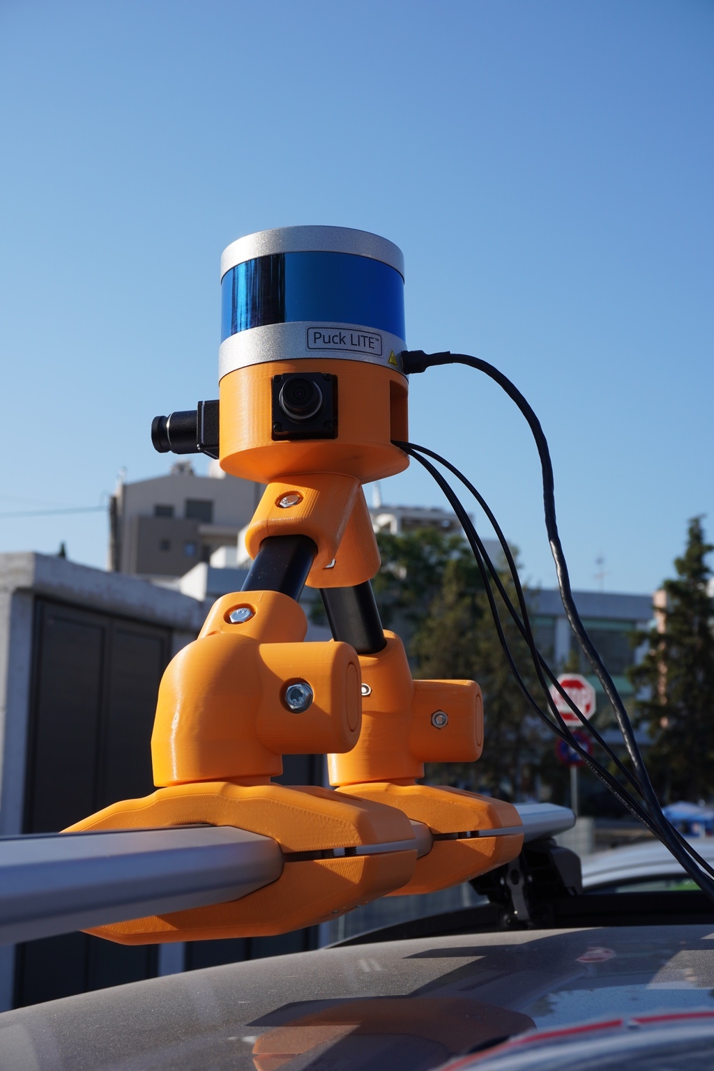
Introducing NavMap by AviSense – Ready for Real-World Testing!
We’re excited to unveil our latest NavMap prototype, a cutting-edge solution that brings real-time Cross-View Localization to a new level of accuracy and accessibility. By fusing satellite imagery, HD maps, and ground-view sensor data, NavMap enables vehicles and mobile platforms to pinpoint their location with centimeter-level precision—even where traditional GPS fails. NavMap is built to address today’s toughest localization challenges: urban canyons, tunnels, indoor environments, and GNSS-denied zones. Whether you’re an OEM, ADAS developer, or surveyor, our flexible, AI-powered platform is designed to deliver performance, speed, and reliability at scale.
Its key features include:
- Locate where others can’t – high accuracy in GNSS-denied or degraded environments
- Save time and cost with minimal sensor setup, no complex cabling or calibration
- Precision localization directly on mobile phones and tablets – no bulky setups
- User-friendly interface for effortless operation in the field
- Advanced situational awareness and real-time collaboration between users
NavMap in Action – Real-World Applications:
- Urban Navigation for Autonomous Vehicles:
Navigate confidently through city streets, tunnels, or parking garages where GPS signals are weak or blocked. - Ground-Truth Data Collection for ADAS Testing:
Generate highly accurate reference data during on-road or indoor tests, helping development teams validate and improve autonomous functions. - Survey Mapping & Infrastructure Inspection:
Enhance the accuracy of drone or ground-based surveys by integrating cross-view data for better geo-referencing and scene understanding. - Emergency Response & Defense Applications:
Enable reliable positioning for first responders and field units in GPS-compromised areas, such as disaster zones or contested terrains. - Fleet Management in Complex Environments:
Support logistics and utility vehicle fleets in ports, warehouses, or dense urban areas where traditional tracking solutions fall short. - Research & Academic Pilots:
Accelerate the development and testing of localization algorithms using a plug-and-play, scalable platform.
Whether you’re developing smart mobility solutions, building autonomous systems, or mapping uncharted environments—NavMap is your foundation for precise positioning!


