
Autonomy · Visualization · Interactive Sensing
See what matters.Before it becomes critical.
AviSense transforms fragmented visual, geospatial, satellite and sensor data into real-time situational awareness, predictive risk intelligence and XR-based field guidance.
Complex environments generate data. Not clarity.
Cities, airports, infrastructure sites and emergency operations rely on growing networks of cameras, sensors, data streams and human reports. These sources still remain fragmented, delayed or difficult to interpret.

Delayed Decisions
Without predictive risk intelligence, teams often react after a situation has already escalated.
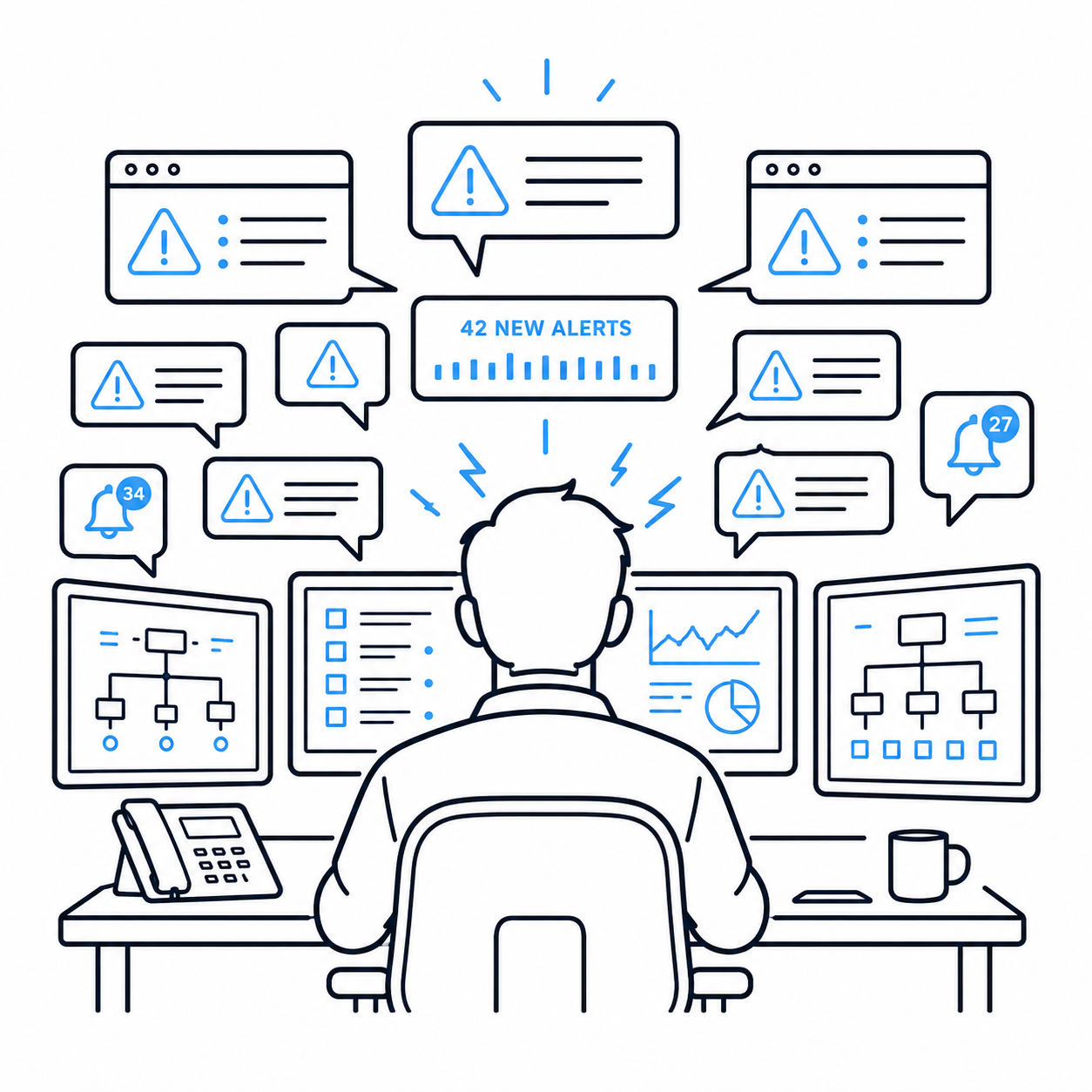
Operator Overload
Control rooms and field teams receive too many alerts and too little actionable guidance.
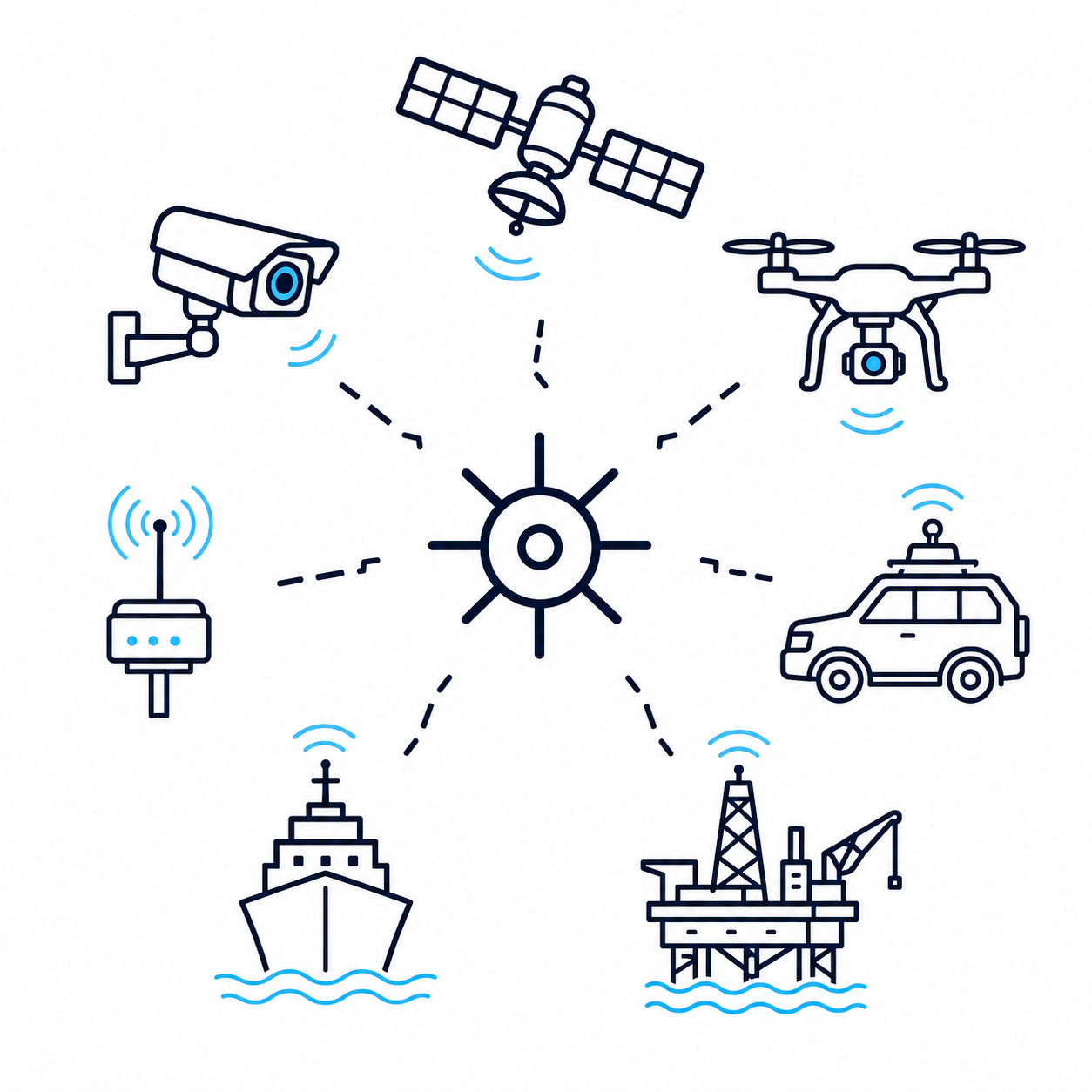
Fragmented Sensing
Multiple cameras, sensors, vehicles and platforms are rarely fused into one operational picture.
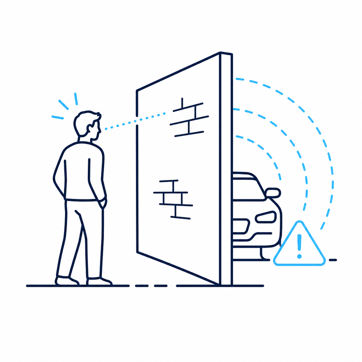
Occlusions & Hidden Risks
People, vehicles, assets or hazards can remain invisible behind physical and environmental obstacles.
From distributed sensing to coordinated action.
One continuous intelligence loop connects what happens in the environment with the people and systems that need to respond.
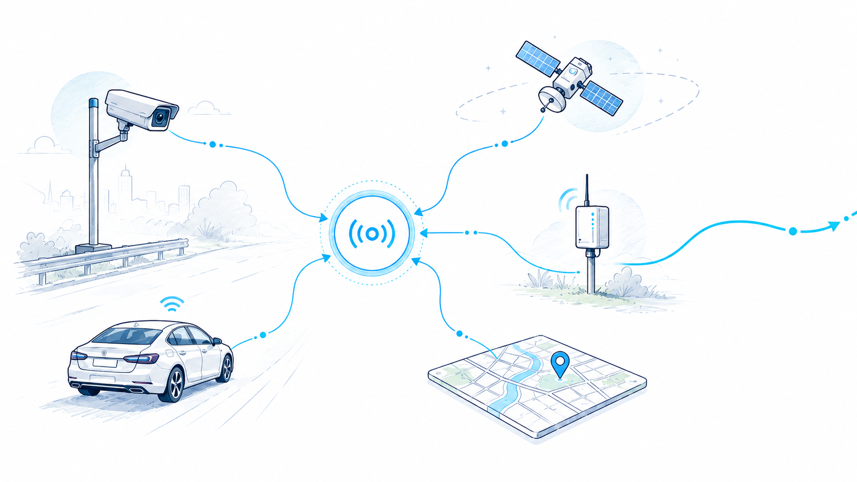
Sense
Capture signals from cameras, vehicles, sensors, satellite data and maps.
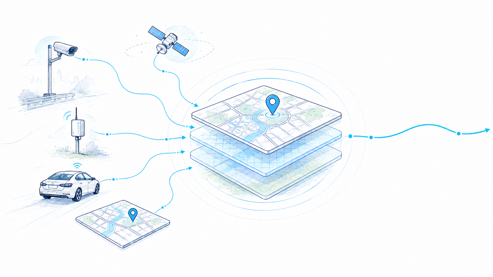
Fuse
Align multiple sources into one shared operational picture.
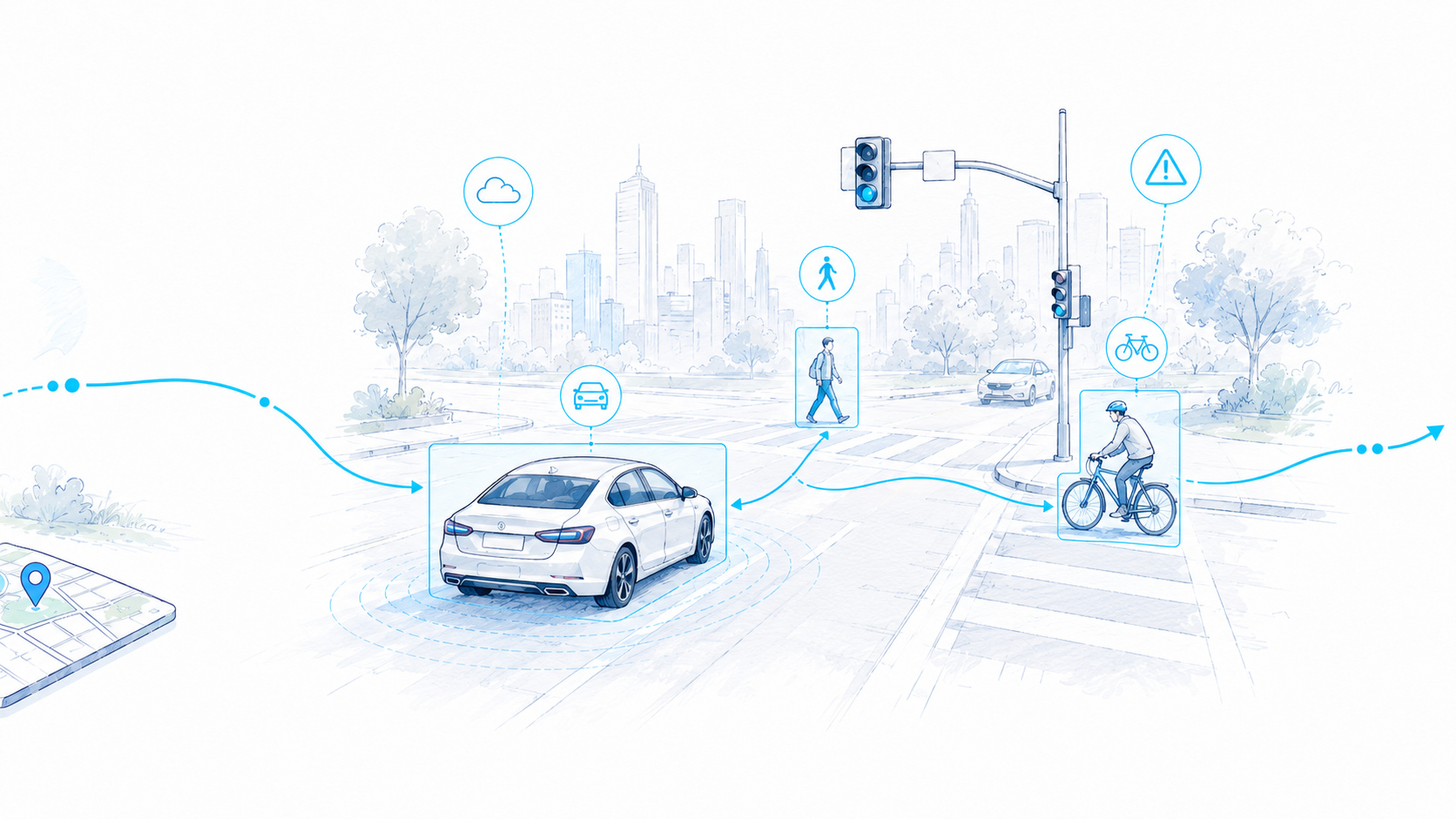
Understand
Detect actors, context and events with AI-powered scene understanding.
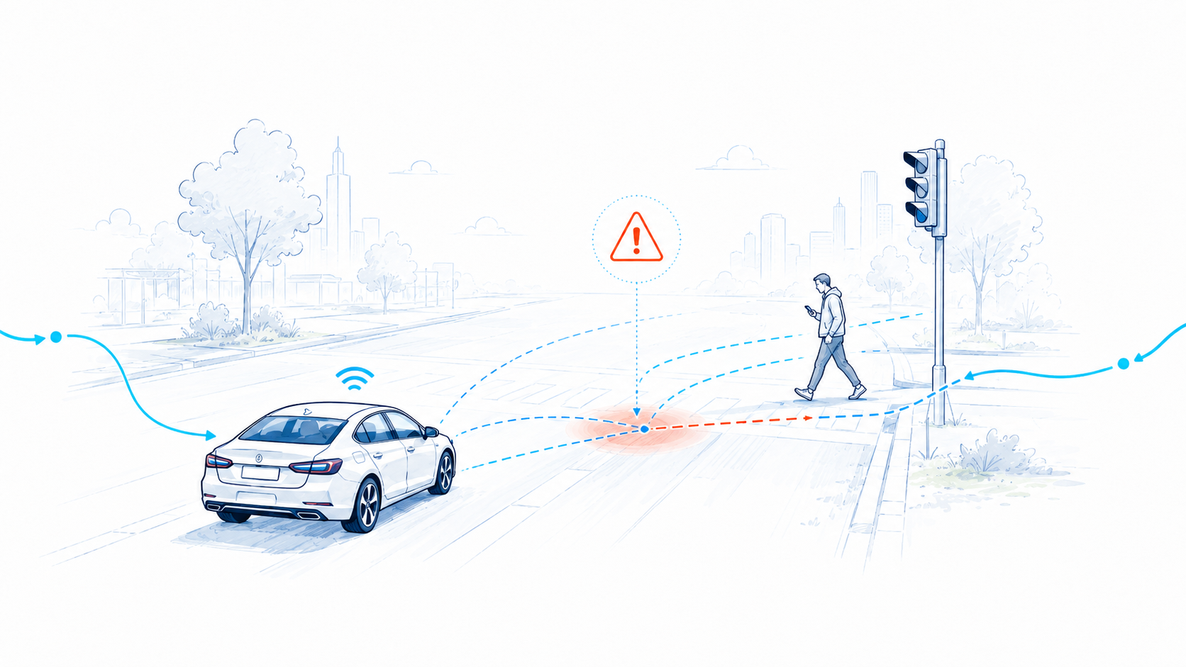
Predict
Anticipate emerging risks before they become critical.
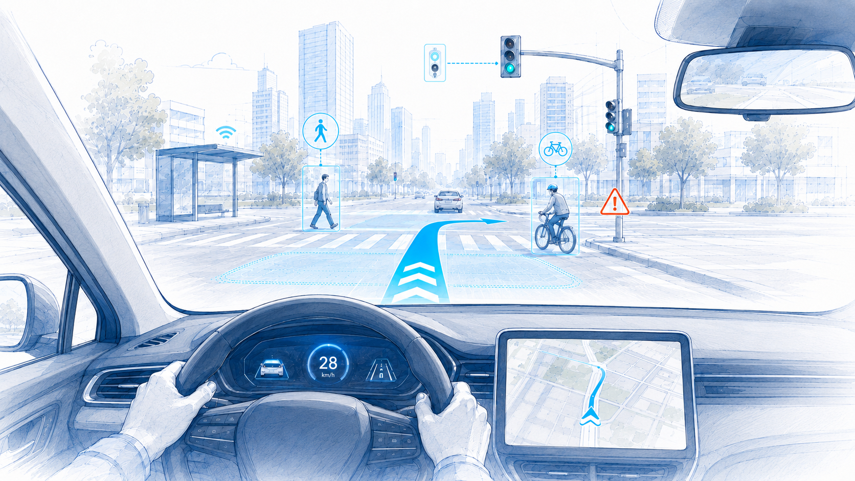
Guide
Deliver XR guidance and decision support when it matters.
AviSense operational intelligence. In motion.
See how live sensing, maps, AI insights and field guidance come together in one operational picture.
An intelligence layer built around real operational needs.
Modular capabilities combine AI, spatial understanding, prediction and human-centred visualization.
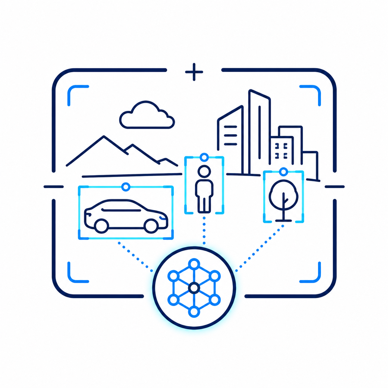
AI Scene Understanding
Real-time detection, tracking and semantic interpretation of vehicles, pedestrians, assets, hazards and operational events.
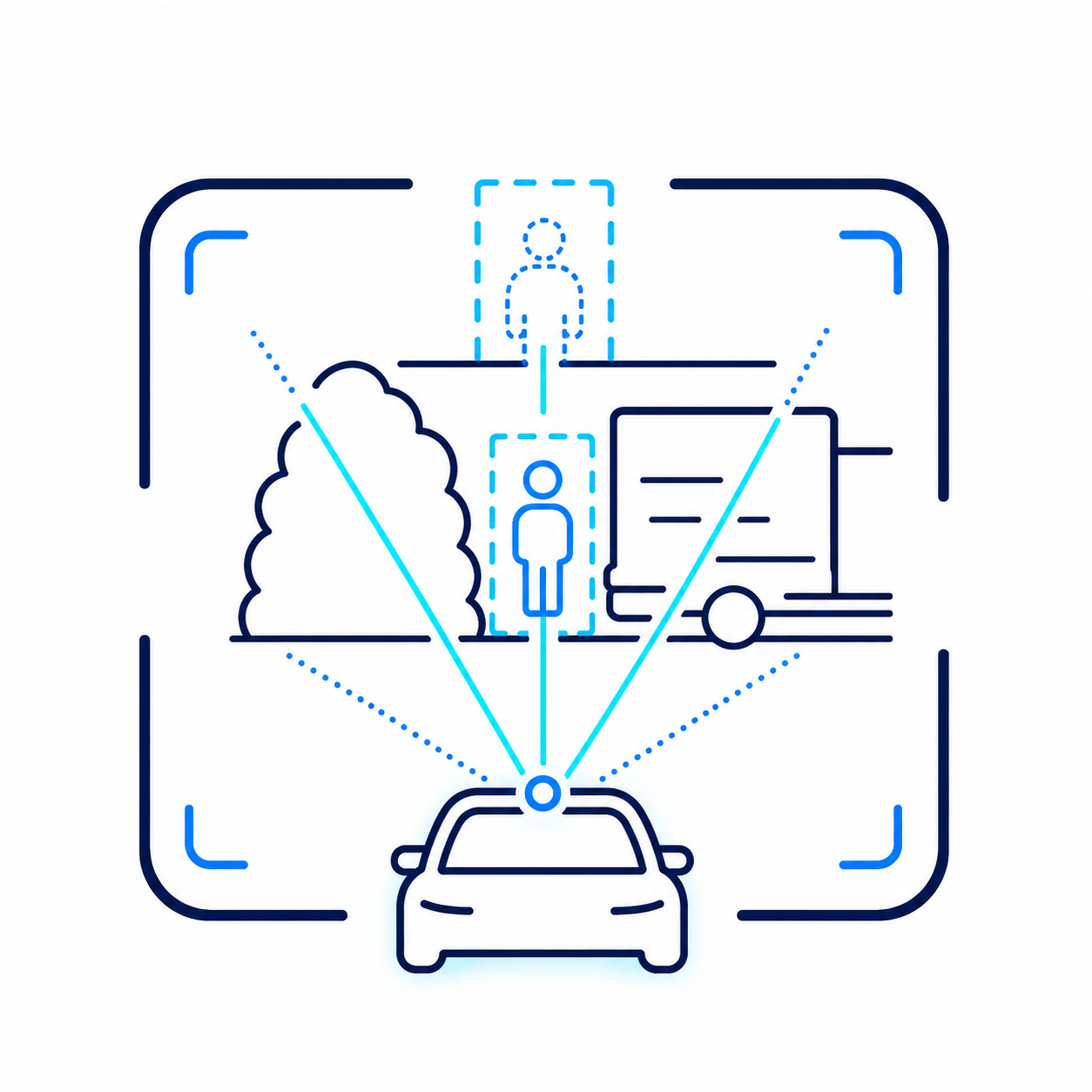
Occlusion-Aware Perception
Awareness beyond direct line of sight by combining multiple viewpoints, geospatial context and cooperative sensing.
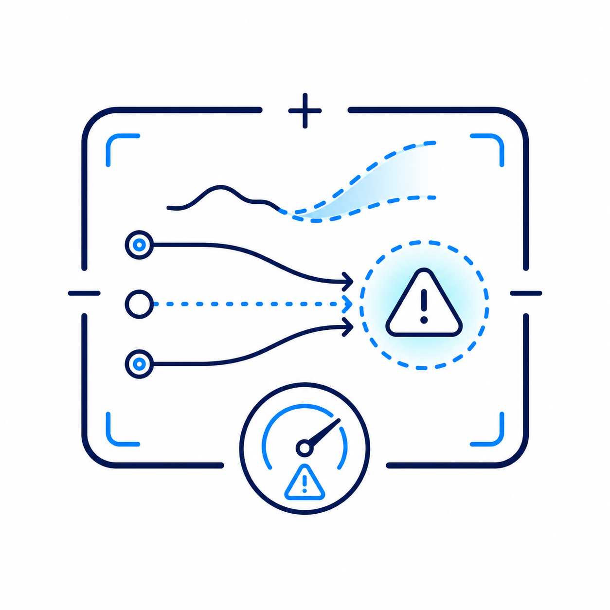
Predictive Risk Intelligence
Trajectory forecasting, risk scoring and early warnings that help teams act before incidents escalate.
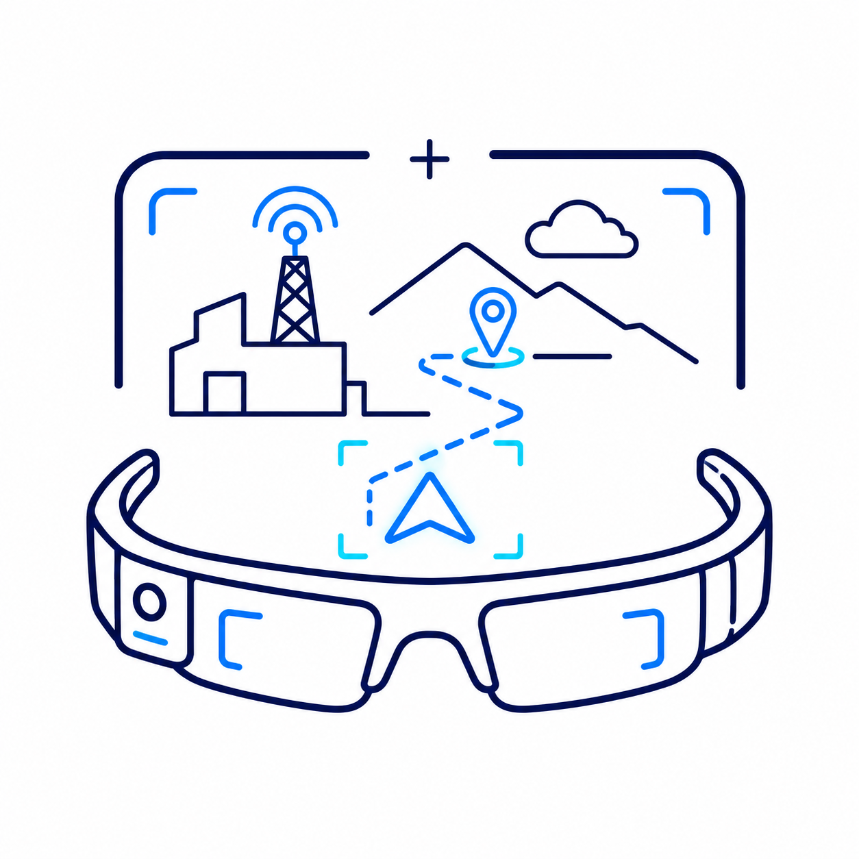
XR Field Guidance
Geolocated AR overlays, explainable cues and field instructions delivered through mobile, tablet, headset or transparent displays.
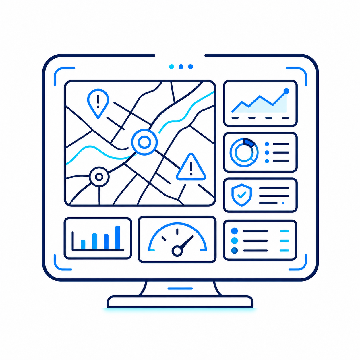
Operational Dashboard
A real-time command interface for maps, alerts, risk zones, sensor feeds, annotations and decision support.
One platform. Five operational contexts.
The same technology core adapts to different environments, infrastructures and field workflows.
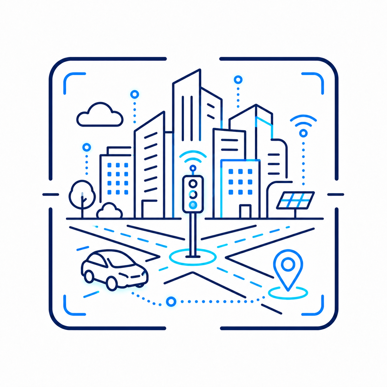
Smart Cities & Urban Mobility
Occlusion-aware traffic perception, intersection safety, risk heatmaps and vulnerable road-user awareness.
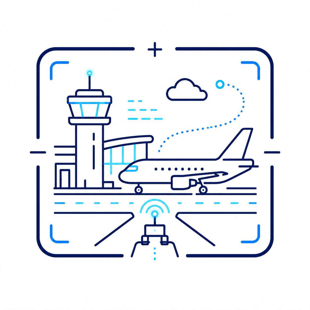
Airports & Airside Operations
AI-enhanced apron, gate and airside visibility using existing infrastructure.
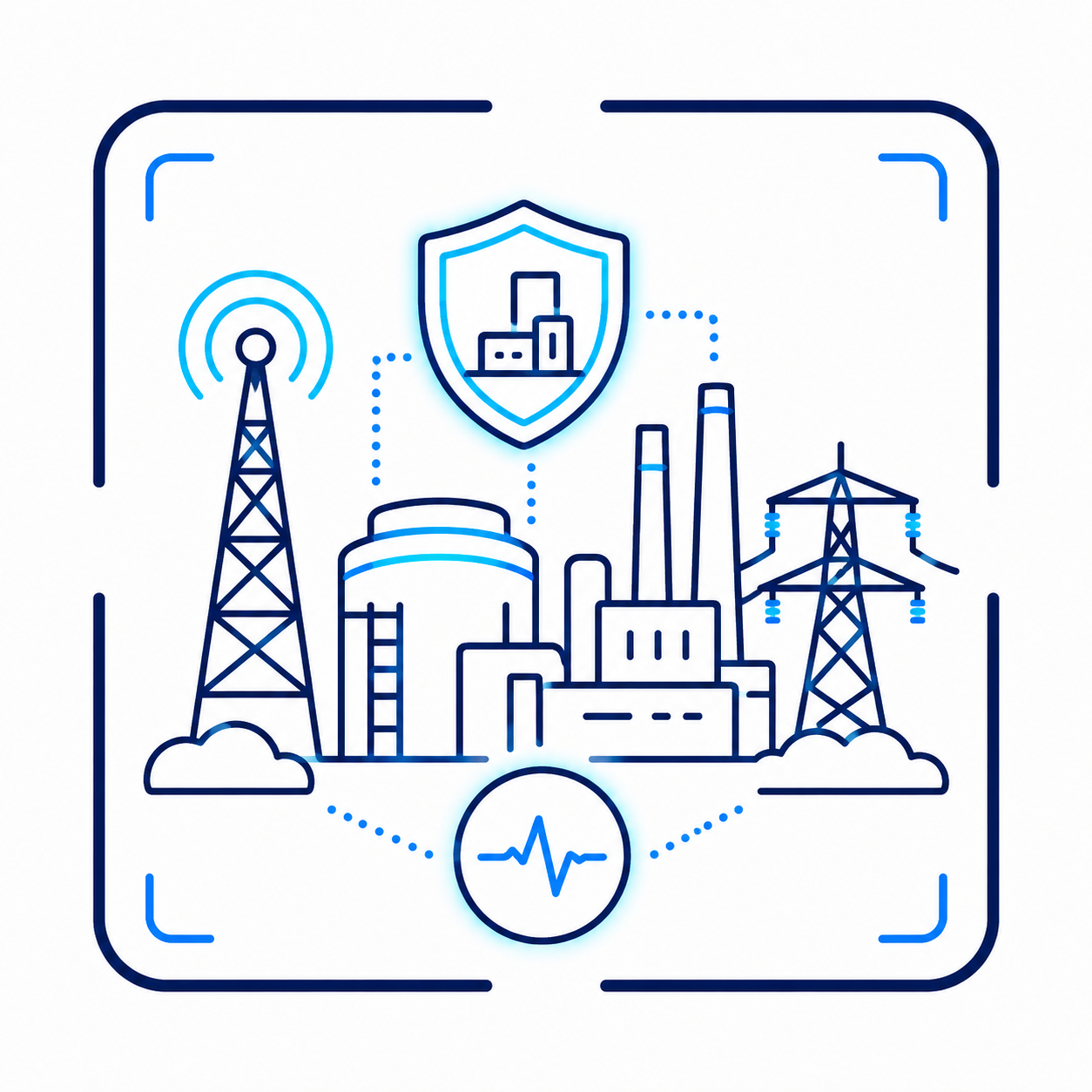
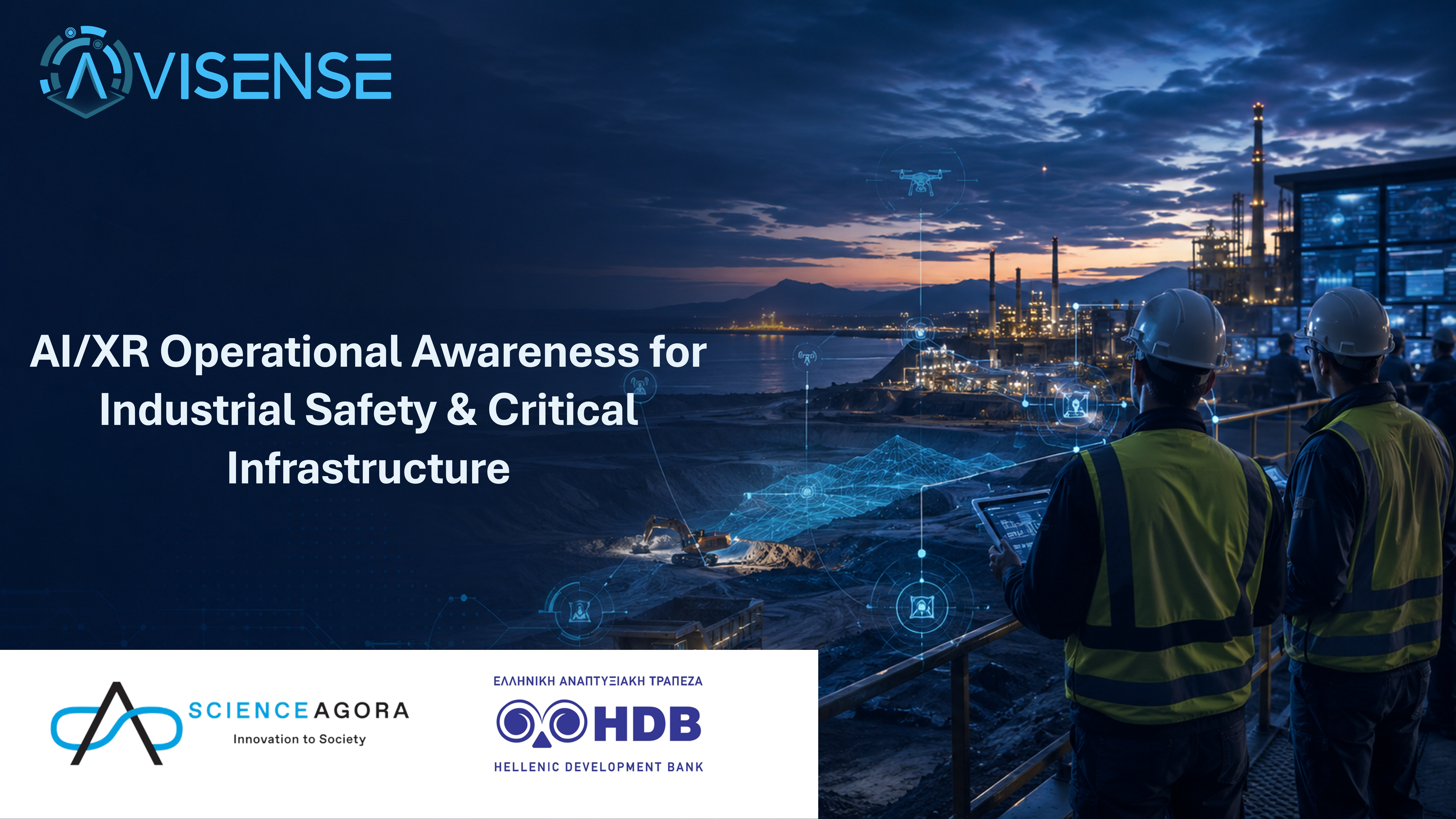
Critical Infrastructure & Industrial Sites
Decision support for restricted areas, worker–vehicle interactions and high-risk zones.
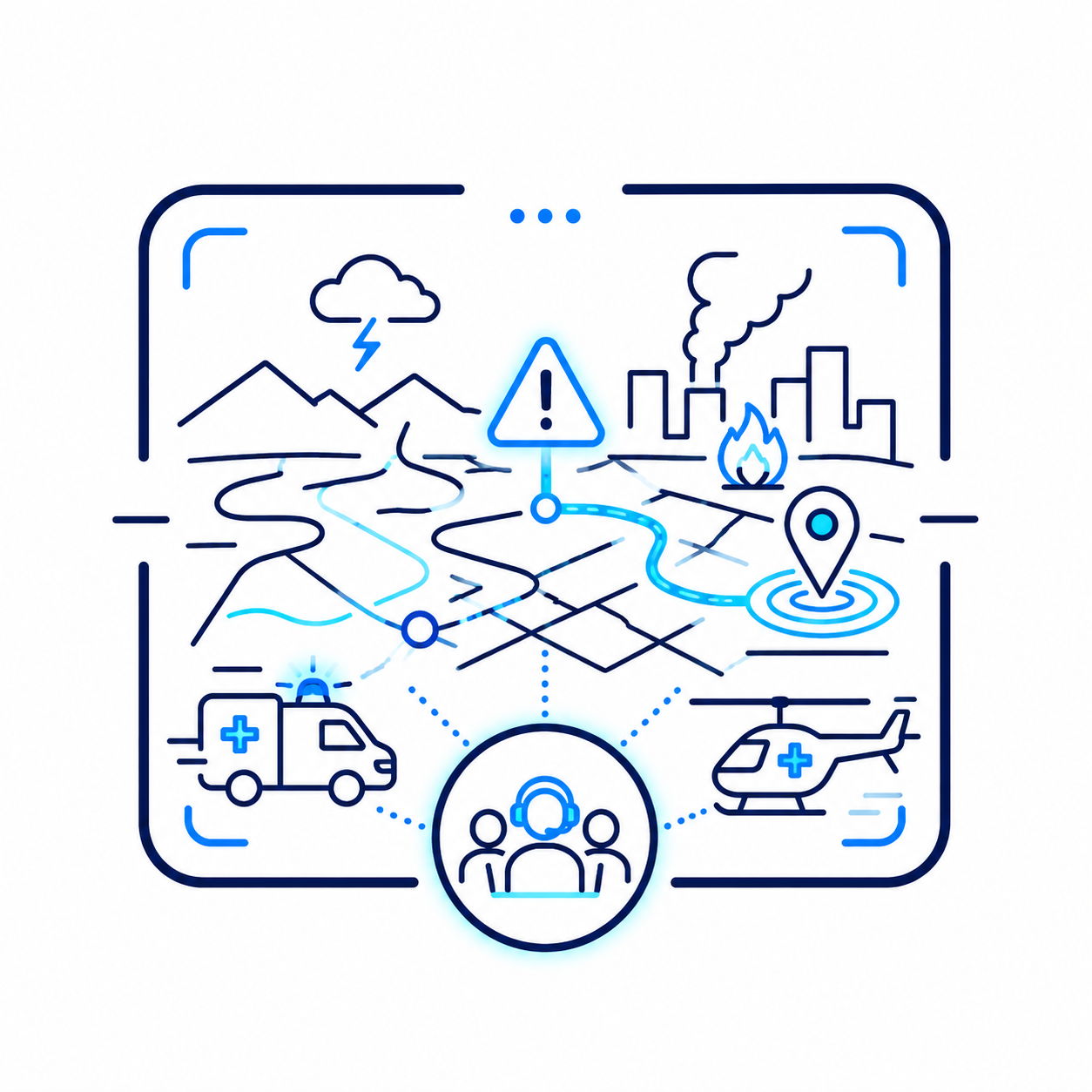
Crisis Management & Civil Protection
A shared picture integrating satellite data, geospatial layers, field inputs and live sensing.
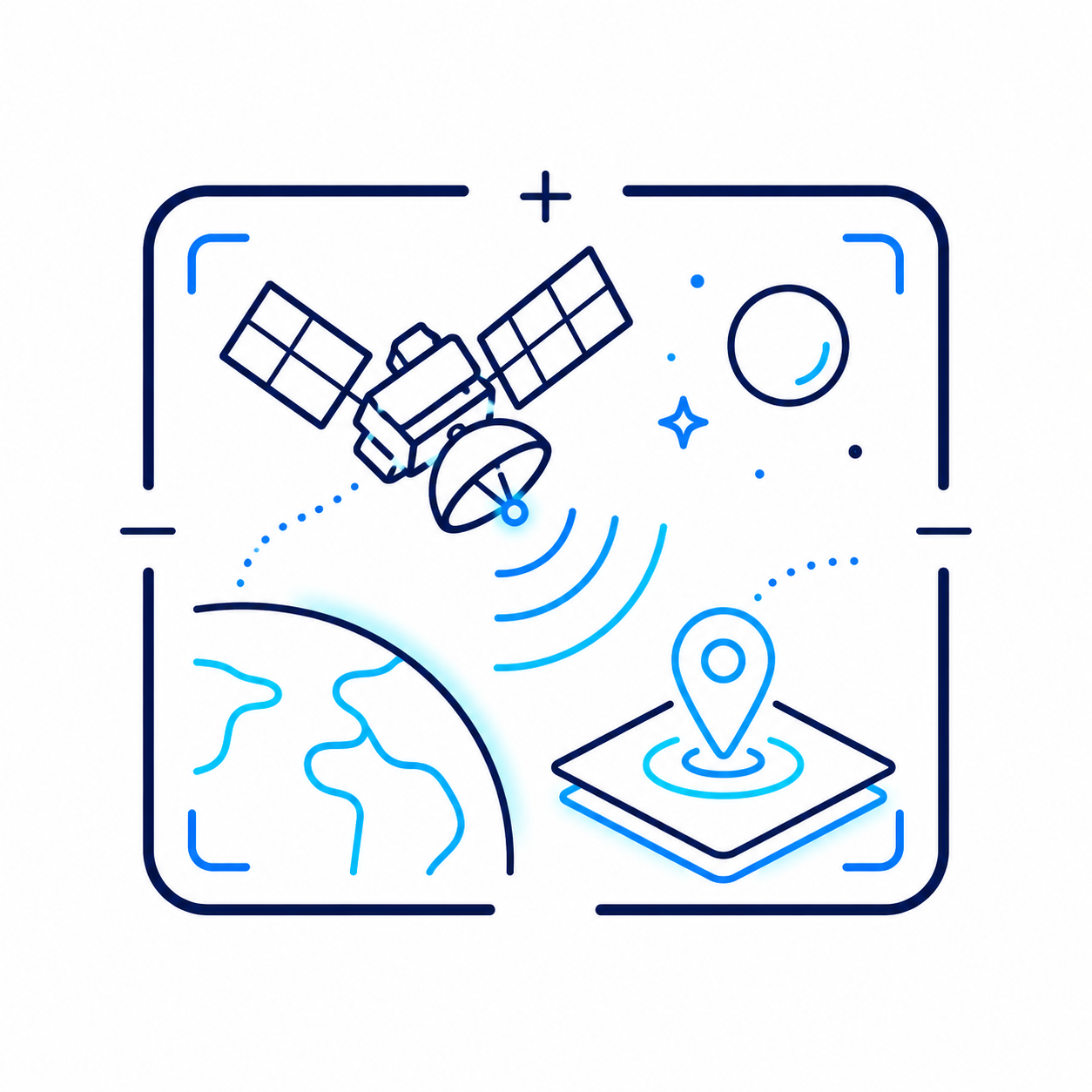
Space-Enabled Intelligence
Copernicus, Sentinel and Galileo/GNSS integration for geo-events, risk mapping and informed operations.

















Research translated into deployable intelligence.
Explore all projects ↗


See earlier.
Coordinate faster.
Act safer.
Explore how AviSense can support your environment through multimodal perception, predictive risk intelligence and XR guidance.
Discuss your use case